Today the Sustainable Seas Institute is proud to announce the public launch of GOCOS — the Global Ocean Contamination Open-Source Ecosystem — at gocos-app.vercel.app.
GOCOS is an open-source web platform and data repository that puts peer-reviewed ocean contamination science directly in the hands of researchers, island communities, environmental agencies, and the public. It is free to use, free to access, and built on openly licensed data and code.
What Problem Does GOCOS Solve?
For years, one of the most significant barriers in ocean contamination research has not been a lack of data, it has been a lack of access to data. Peer-reviewed PFAS and microplastics measurements from the world’s oceans sit scattered across journal supplements, institutional servers, and proprietary databases. A community water manager in Antigua, a graduate student in Charlotte, and a regulatory scientist in Bridgetown all face the same obstacle: getting to the data takes longer than analyzing it.
GOCOS changes that. Every dataset in the platform is openly published on Zenodo with a permanent DOI, queryable through a live web interface, and downloadable as a CSV in a single click. There are no paywalls, no login requirements, and no subscription fees.
What Is Available Now
The Phase 1 launch includes five core features.
A live mission dashboard tracks R/V Dawn’s active operations, including the current three-week expedition from St. Martin through the British Virgin Islands, United States Virgin Islands, Spanish Virgin Islands, Puerto Rico, and the Dominican Republic. The dashboard links directly to live AIS vessel tracking so anyone can follow the research vessel in real time.
An interactive contamination map displays 18 PFAS and microplastics sampling stations across the Eastern Caribbean, color-coded by contamination level. Users can filter by compound type and click any station for detailed measurements, sampling date, and field notes.
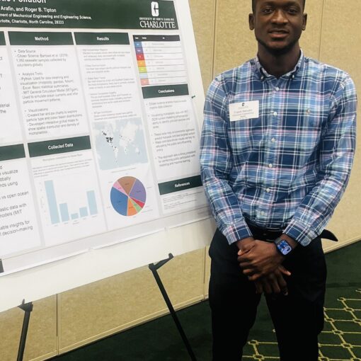
A research portfolio documents all 18 active SSI research projects across five themes: PFAS research, microplastics, expedition operations, technology and modeling, and ocean education. Projects link directly to published mission reports and peer-reviewed findings on the SSI website.
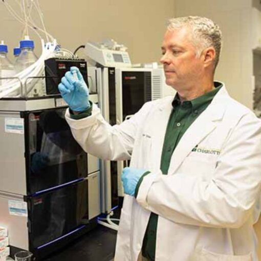
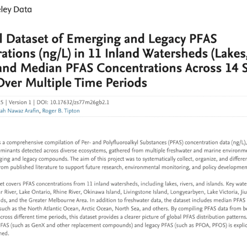
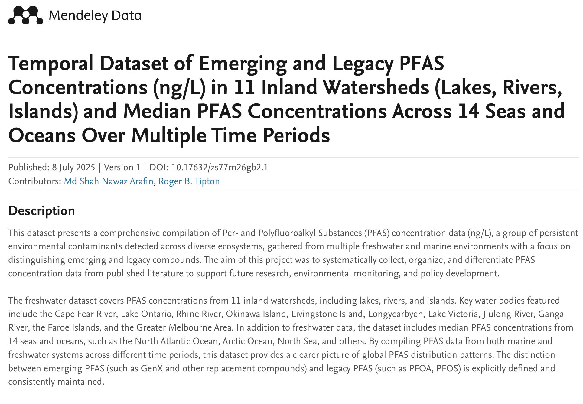
A public data repository currently holds 1,040 PFAS measurements across two peer-reviewed datasets: 664 ocean water observations spanning six ocean regions from 2002 to 2023, and 376 inland freshwater measurements from 11 sites worldwide from 2006 to 2023. Both datasets are published on Zenodo under open licenses and powered in GOCOS by a live database connection. Researchers can filter by region, compound name, compound type, and year range, and export any subset as a CSV for their own analysis.
A citizen science observation form allows Caribbean island residents, fishers, teachers, and coastal community members to report water quality observations directly to SSI. Every submission is reviewed by SSI scientists and feeds into the expedition planning process for R/V Dawn. Anonymous reporting is supported.
Built on Open Science Principles
GOCOS is itself open source. The full application code lives at github.com/rbtipton/gocos-app under a public license. The platform is built on React, Supabase, and Vercel, all open-source or free-tier tools chosen specifically so that research institutions in developing island nations could replicate or adapt the platform without licensing costs.
The platform is also installable as a mobile application. iPhone users can open Safari, navigate to gocos-app.vercel.app, tap the Share button, and tap Add to Home Screen. GOCOS appears as a full-screen app with offline map tile support, an important feature for researchers sampling in areas with limited connectivity.
The Bigger Vision
Phase 1 is the foundation. The GOCOS proposal submitted to the National Science Foundation under the PESOSE program, Pathways to Enable Secure Open-Source Ecosystems, envisions a four-layer platform: the mobile application now live, a publicly documented REST API for programmatic data access, a FAIR-compliant four-ocean dataset spanning the Caribbean, Arctic, Baltic Sea, and South Pacific, and an open-source MITgcm ocean transport model repository. Phase 1 demonstrates that the infrastructure works and the community need is real.
As SSI’s field season expands in 2026, with Arctic sampling continuing under NSF Award 2444939, a Baltic Sea expedition planned with Science in the Wild in November, and a South Pacific survey in French Polynesia, each new dataset will be added to GOCOS and made immediately available to the global research community.
An Invitation
If you are a researcher working on ocean contamination, an island community member who has observed changes in your local water, a teacher looking for real Caribbean data to bring into your classroom, or a funding organization interested in open ocean science, GOCOS is built for you.
Visit the platform, explore the data, submit an observation, and reach out. SSI is a small organization doing large-ocean science, and we build best in partnership.
Explore GOCOS: gocos-app.vercel.app
Track R/V Dawn: sustainableseasinstitute.org/track-r-v-dawn
Contact SSI: sustainableseasinstitute.org
GOCOS datasets on Zenodo:
- Ocean PFAS dataset: doi.org/10.5281/zenodo.20262315
- Inland PFAS dataset: doi.org/10.5281/zenodo.20262399
The Sustainable Seas Institute is a nonprofit ocean research organization operating the sailing research vessel R/V Dawn in the Caribbean. SSI is partnered with the University of North Carolina at Charlotte and is committed to open, community-centered ocean science.